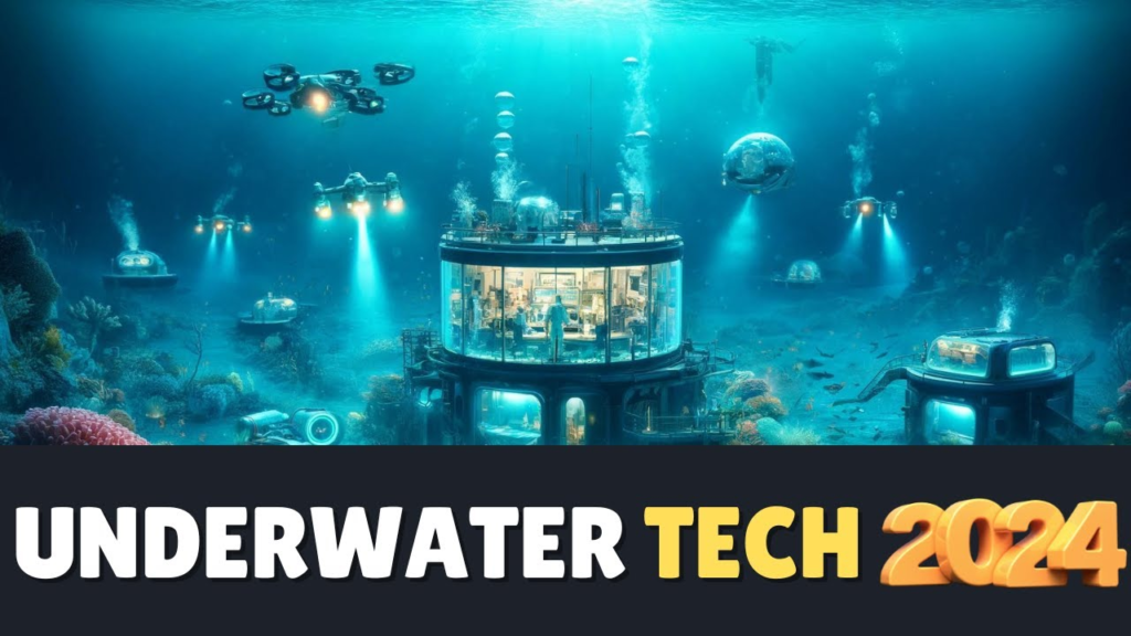
The world below the ocean’s surface appears worlds apart. However, with the arrival of new tools, it becomes easy to discover this deep blue world. Robotic submarines are one such invention. They travel to great depths where people cannot go, sending back images and data. Then there are sonar systems. They create a sound map of the ocean floor, assisting in locating sunken ships and underwater structures. Another game changer is 3D imaging. It aids in seeing the underwater terrain in rich detail, helping researchers track coral reefs and other ecosystems. These advances open up new horizons for underwater study, guarding ocean life, and discovering hidden treasures.
- Unmanned Underwater Vehicles
Robotic submarines, also referred to as unmanned underwater vehicles (UUVs), have changed underwater exploration and have capabilities beyond human reach. These incredible vehicles are designed to explore the depths of the ocean into locations where human life is impossible. UUVs, outfitted with cutting-edge sensors and better high-density cameras for subsea imaging, capture invaluable data on ocean currents, temperatures, depths, and other critical factors. Understanding marine environments is dependent on this knowledge, which drives significant advances in oceanographic research.
UUVs are also crucial for studying sensitive ecosystems, assessing coral reef health, and assisting in ocean conservation. Their ability to navigate inaccessible locations ensures that even the most remote aquatic environments are researched and protected. These underwater vehicles also play an important part in search and rescue efforts in challenging places, assisting in the recovery of sunken vessels and underwater debris. UUVs push the boundaries of exploration by going where no humans can, therefore enhancing the understanding of the seas and their complex ecosystems.
- Advanced Sonar Technology
Modern sonar technology has drastically altered the understanding of the ocean floor and its hidden beauty. This fascinating gadget paints a realistic image of the aquatic environment by emitting sound waves that bounce back when they contact an item or surface. The returning waves provide academics and adventurers with incredible precision in charting and viewing the underwater spots. While conventional sonar provides a more general picture of depth and topography, high-resolution sonar produces crisp, detailed images of shipwrecks, coral reefs, and underwater ecosystems.
Sonar’s real-time data capabilities are very important in geological investigations, marine building projects, and environmental monitoring. It has been very useful in marine research for discovering new species, habitats, and geological formations. Advanced sonar systems contribute to conservation efforts by allowing researchers to detect changes in underwater habitats. This adaptive technology is an essential tool for understanding and studying the mysteries of the ocean, benefiting not only scientists but also divers, marine archaeologists, and underwater construction companies.
- 3D Imaging and Mapping
The development of 3D imaging and mapping technology has transformed our understanding and approach to the underwater world. This innovative technology captures them in stunning detail, resulting in astonishingly accurate renderings of the ocean floor and underwater structures. Combining many photos captured from different viewpoints results in exact 3D maps that provide a comprehensive view of underwater ecosystems. This skill is critical for monitoring coral reefs because it reveals minute structural details and provides insight into their state over time.
3D photography preserves old shipwrecks in their original state for underwater archaeology, allowing for detailed investigation without disturbing these sensitive sites. This technique significantly enhances navigation for UUVs (Unmanned Underwater Vehicles) and submarines by providing precise and consistent maps, resulting in safer and more successful exploration. Beyond these applications, 3D imaging solves numerous nautical mysteries, explains marine ecosystems, monitors environmental changes, and unveils hidden underwater worlds. This groundbreaking device continues to expand the scope of ocean study.
Conclusion
The tremendous evolution of technology is altering underwater research by introducing novel equipment and approaches. Nowadays, autonomous underwater vehicles allow scientists to explore previously inaccessible areas and acquire critical data on the mysteries of the deep. These vehicles include advanced sonar equipment that allows for better images of the ocean floor, aiding in the finding of geological formations and hidden structures. 3D mapping, on the other hand, offers a full view of underwater environments, allowing researchers to observe changes in ecosystems over time and monitor marine organisms. These technological advancements not only broaden the understanding of the ocean but also aid in steering sustainable resource management and conservation projects.
Sources
http://jonuns.com/index.php/journal/article/view/1491

